
For the final Saturday of each month, a different and unique feature will be published. Today’s narrative takes a look at one of the gems of the metro park system of central Ohio. Saturday’s regular feature, “Trivia’s Facts and More,” will return next week.
Central Ohio is blessed with an extensive metro park system in the surrounding area of Columbus and Franklin County. One of the most remarkable parks to discover is Chestnut Ridge Metro Park.
Located about five miles from the city of Canal Winchester, the park contains the first significant ridge of the Ohio foothills of the larger range of Appalachian Mountains. This particular ridge spans nearly 4,500 feet and rises to a height of just over 1,100 feet above sea level.
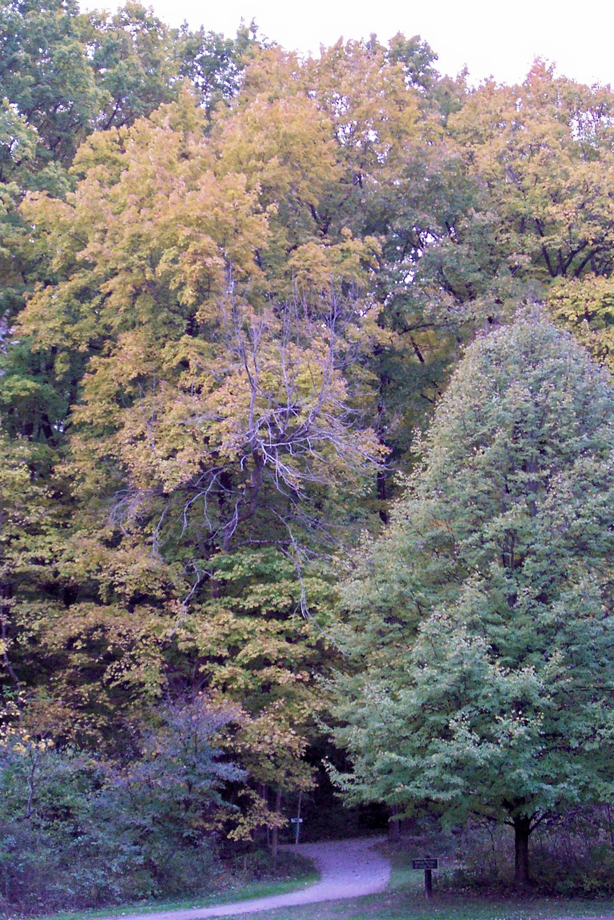
Chestnut Ridge features a variety of trees with the upper ridge containing black oak, shagbark hickory, and northern red oak. The lower slopes are filled with sugar maples and American beech. The park’s size measures about 486 acres, and hidden in its depths are outcroppings of black sandstone.

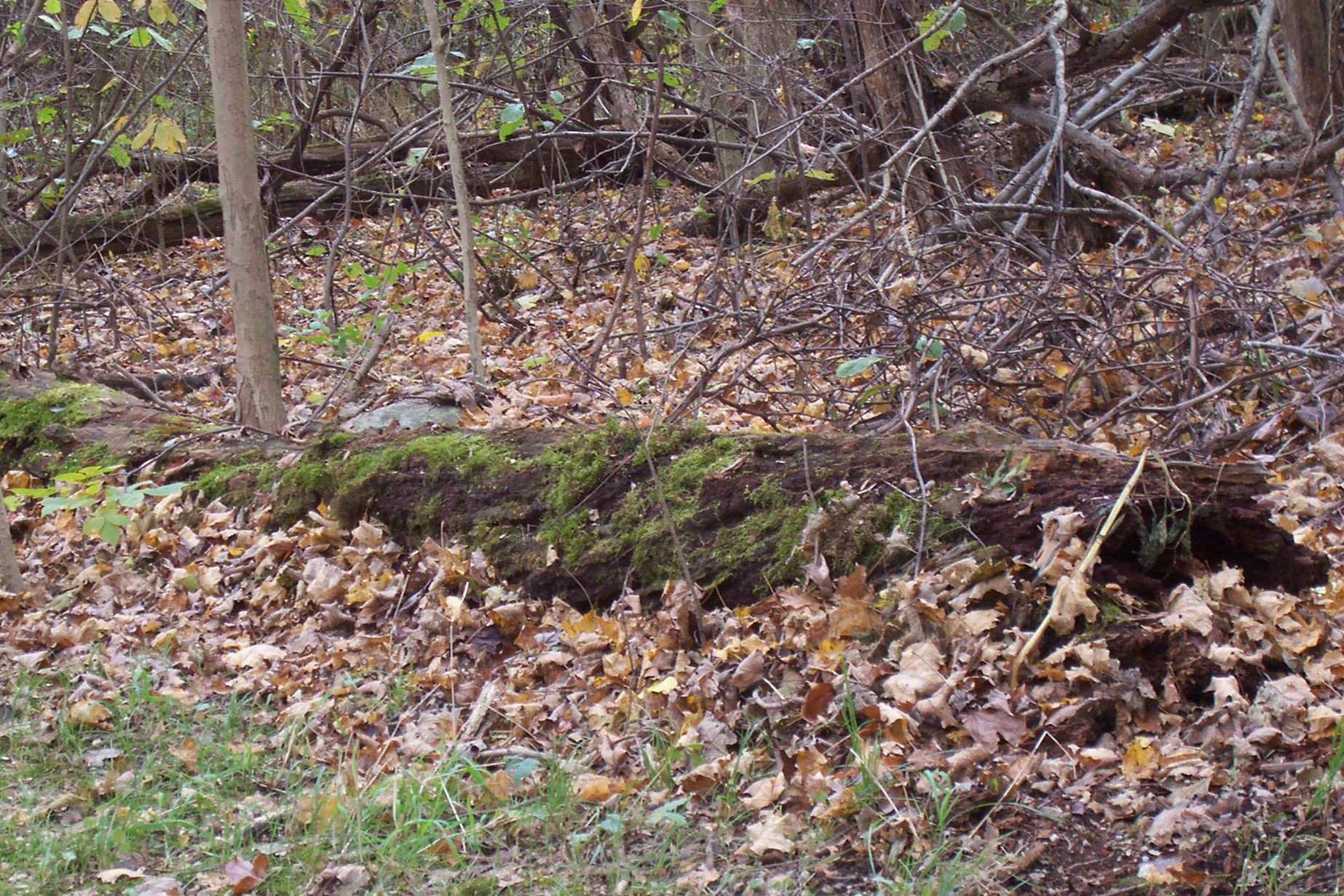

The park features a totally natural setting with fallen logs and splintered tree trunks. Notice the moss growing around the hollowed out tree trunk.
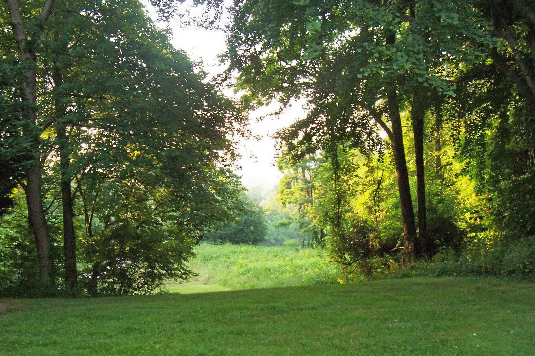
With natural trails covered with light gravel, the terrain rates as moderate to difficult for anyone who desires to walk the park. Poplar Creek meanders through the meadows and trees below the ridge.
Chestnut Ridge features three different trails, and they connect to form a nearly 2.5 mile route. Nearby wetlands and a fishing pond are located on the lower level of the park, as well as picnic shelters and a small natural amphitheater.
The Meadows Trail covers one mile in distance, and it outlines the lower region of the park. This route is more moderate than the two remaining trails.
The other trails offer a more challenging and difficult terrain. The Ridge Trail climbs up from each end of the Meadows Trail. The one-mile distance takes any ambitious hiker up to the highest point of the park.
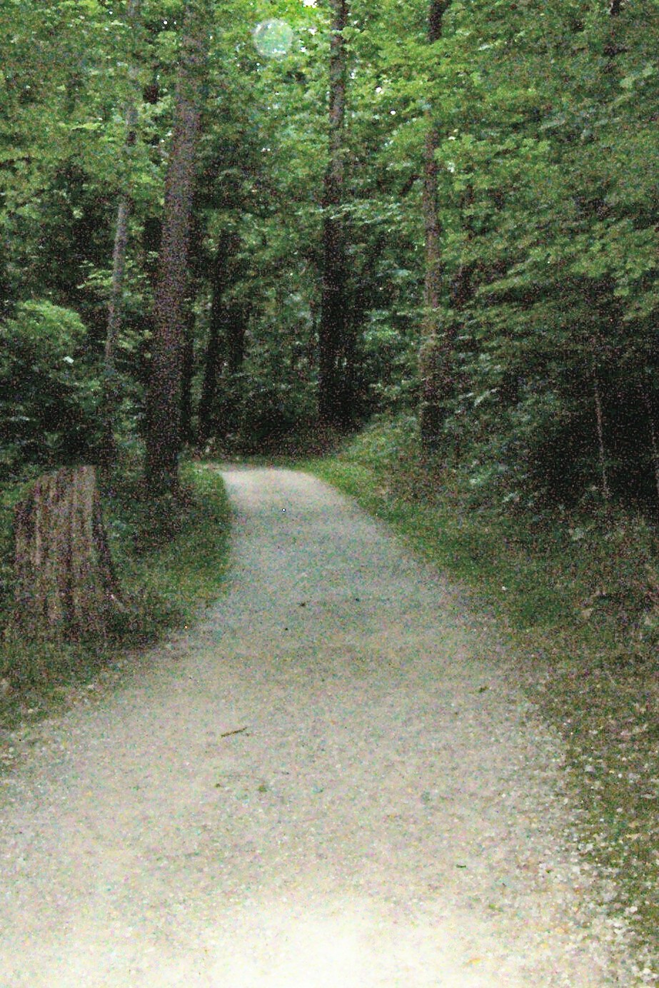
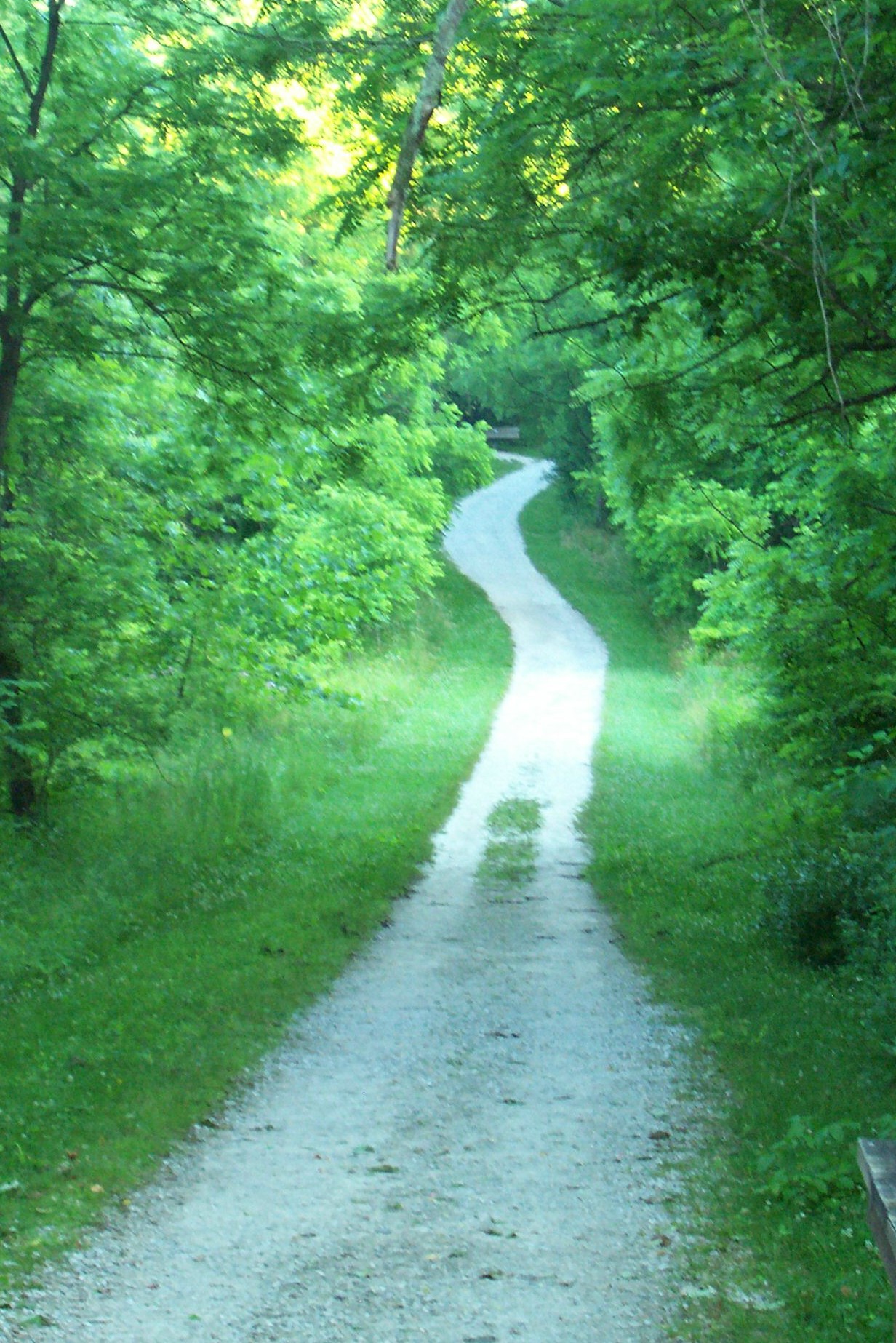
The path on the left is typical of the Meadows Trail. The beginning of the climb up the Ridge Trail is featured on the right.
Between the Meadows Trail and the Ridge Trail sits the Homesite Trail. The nearly half-mile trail climbs up through the interior section of the park. Hikers will find the foundation of a former home from the 1930s as well as a garden area around it. The generous size of the shaded location may allow a fortunate photographer to quietly capture a hungry deer feeding on the tender, green grass.
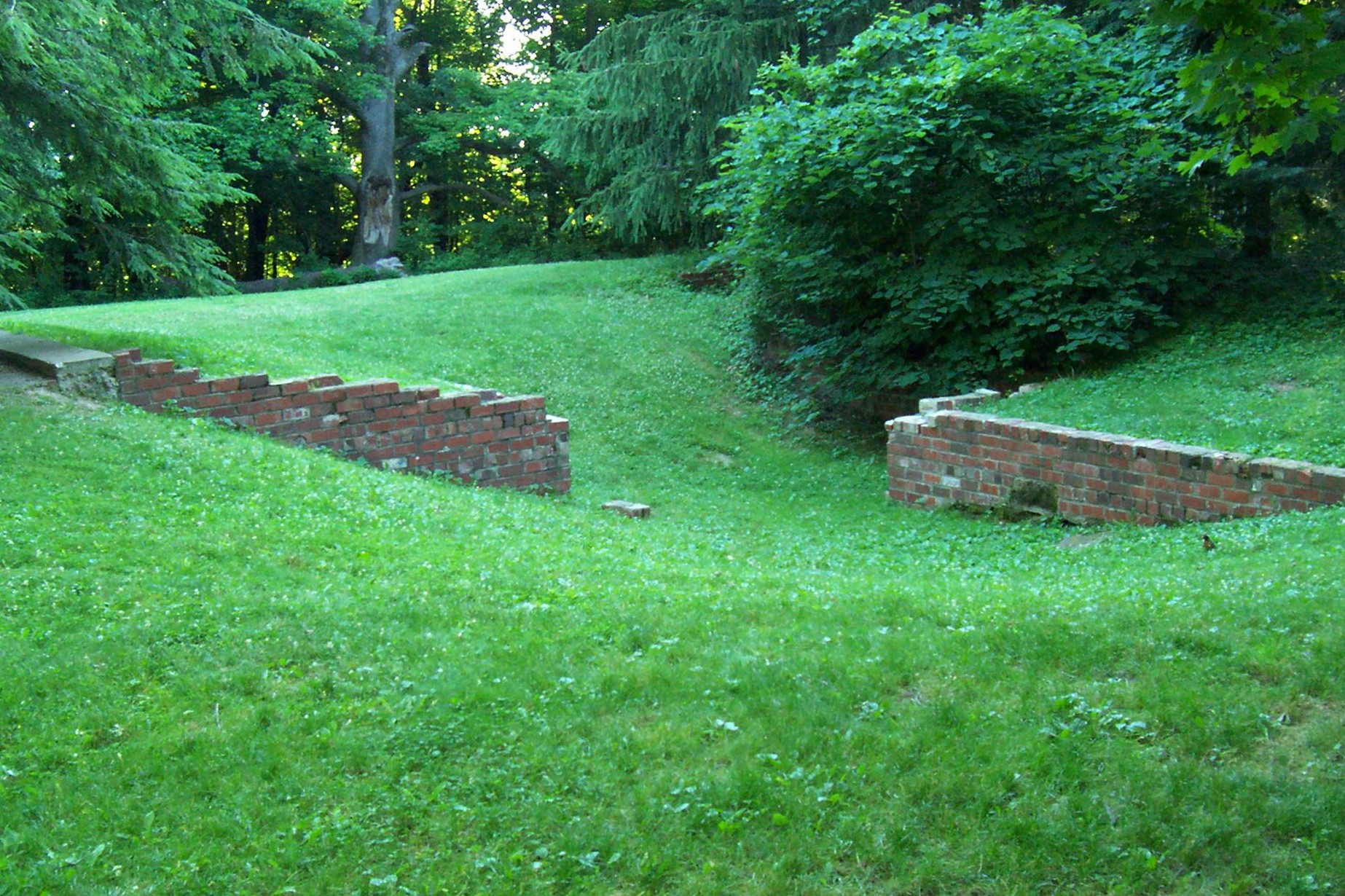
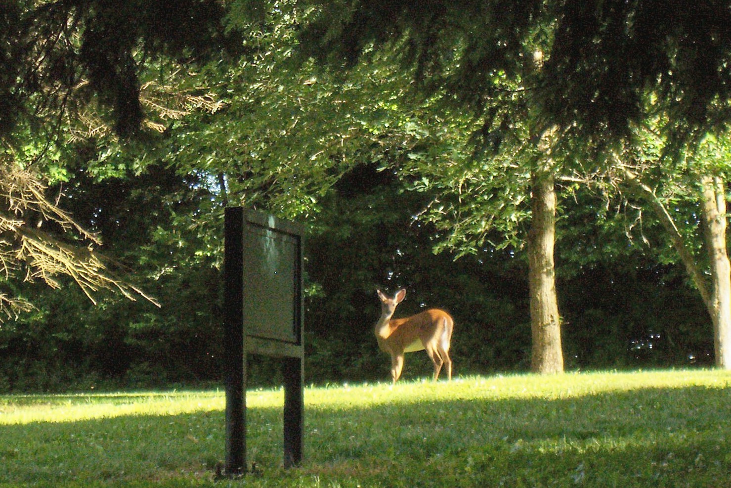

at the top of the homesite trail one will find the remnants of a former home. standing in the quiet shadows of the surrounding trees, a deer is photographed, seemingly unaware of any human presence.
The park was named for the American chestnut tree, and many grew up on the crown of the ridge until the early 1900s. They dominated forests in the eastern United States as well as the Ohio Valley. These giants topped out at a height of 100-150 feet, and a few featured trunk diameters of nearly ten feet.
In 1904, an Asian fungus arrived in the United States, and it began to slowly and methodically kill the mighty chestnut tree. By the end of World War I, most of America’s chestnut trees were reduced to sprouts rising from infected stumps. They resembled pale and sickly dwarf bushes rather than the magnificent chestnut tree.