Montana’s Big Sky Country is filled with a variety of natural and man-made landmarks, and water is frequently found across the Treasure State. Today’s photographic narrative highlights some of the lakes and rivers taken from my personal collection.
The landscape of southwestern Montana is punctuated with the presence of the Madison River (see above map). Flowing from its source in Yellowstone National Park toward its confluence with the Jefferson and Gallatin Rivers, all three form the source of the mighty Missouri River. The Madison runs for 183 miles before reaching its final destination near the community of Three Forks.
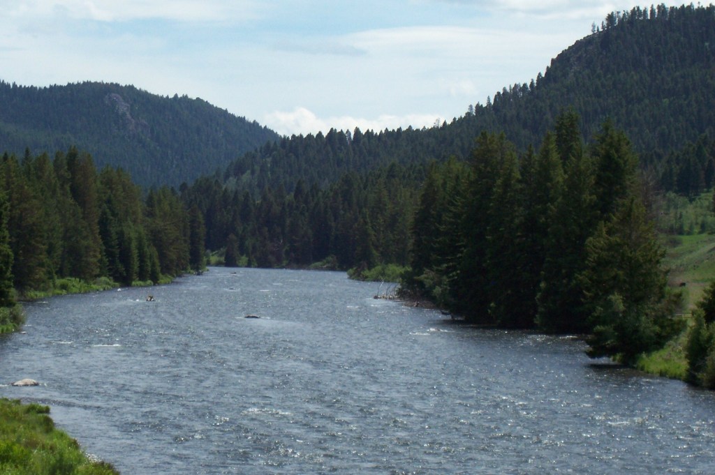
This section of the Madison River is found between the river’s two major lakes, Hebgen and Ennis.
The Madison River contains two dams. Both dams are located on either side of the town of Ennis in one of the top trout fishing areas in the state.
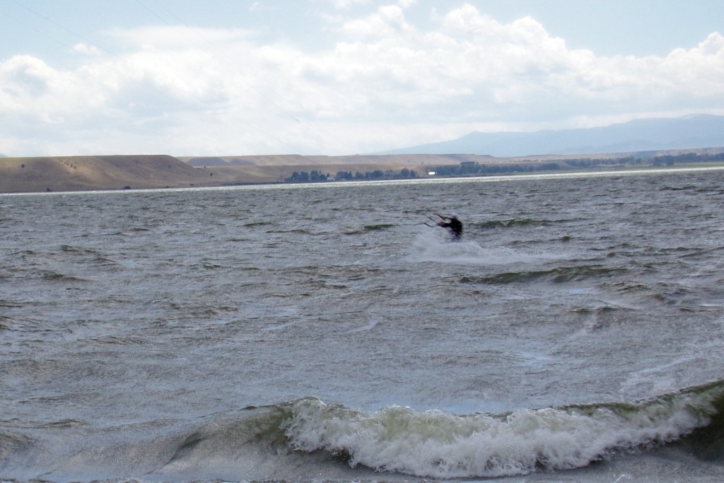
Hebgen Lake is located between West Yellowstone and Ennis. The lake is created with the building of Hebgen Dam (finished in 1914), and it is simple, yet effective in its construction. The dam’s concrete core with an earthen embankment holds together during the infamous 1959 earthquake, which measures 7.2 in magnitude.

Scenic view along Hebgen Lake, downshore from the dam. The lake opens up as it faces toward West Yellowstone.
The Madison Dam (opening in 1906) is built in the tight Bear Trap Canyon. Its construction backs up the Madison River with a lake much smaller than Hebgen. While usually listed on maps as Ennis Lake, the locals call it Meadow Lake. Much of the lake’s perimeter is filled with private dwellings, but one can still find access to fishing sites, boat ramps, and camping.